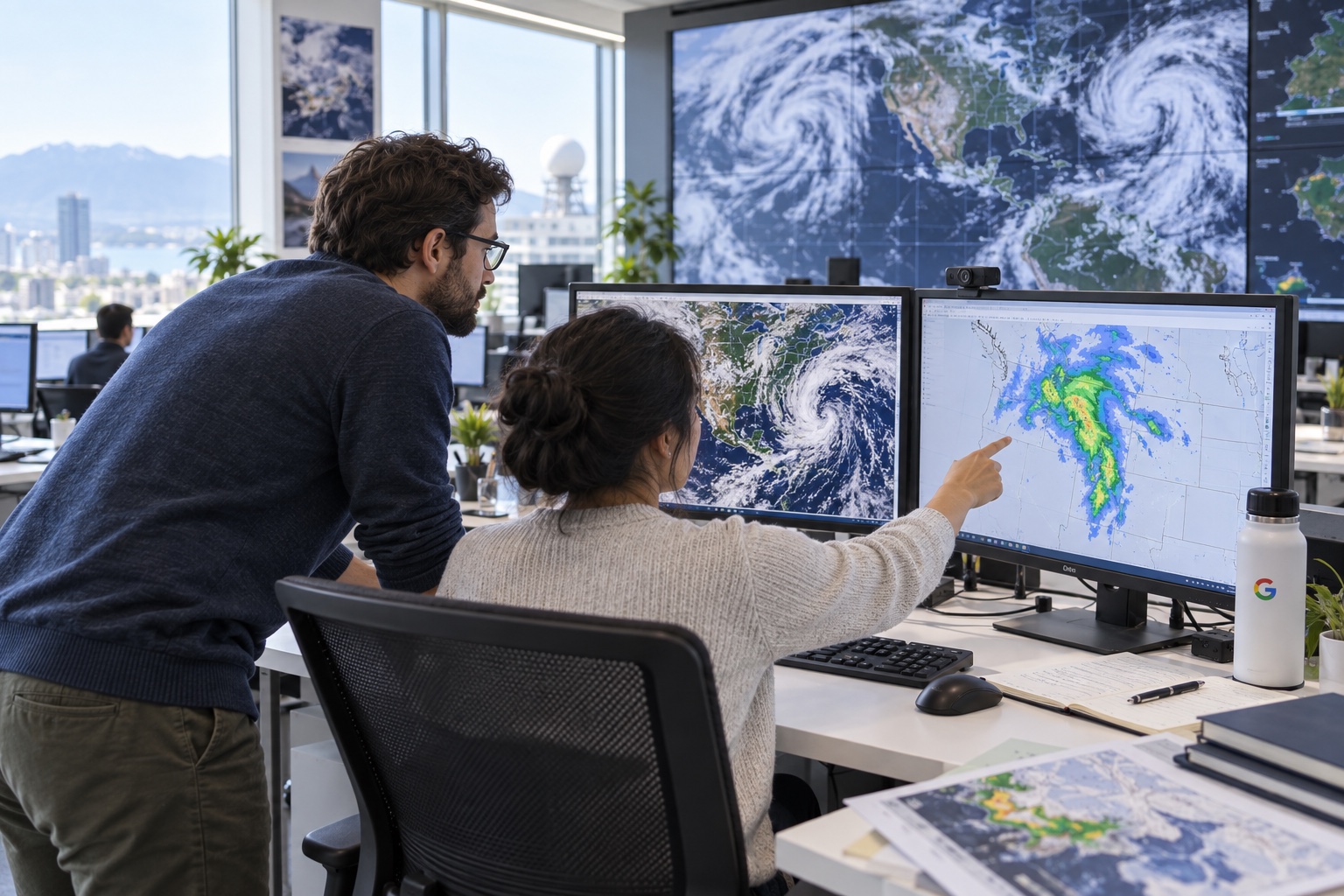
The simple promise is that a day-ahead rain forecast should become more useful, especially where global systems have traditionally blurred local conditions. But WeatherNext 3 is more than a new accuracy claim. Google is trying to remove a central limitation of earlier AI weather systems: their dependence on an atmospheric starting point already prepared by conventional forecasting models.
What changed in the model
Traditional global forecasts simulate the atmosphere with physical equations on supercomputers. Many early AI systems ran faster, but began with the processed output of those simulations. That is convenient, but it also carries forward their delay and possible systematic bias.
WeatherNext 3 takes a mosaic of fresh geostationary-satellite images and combines it with historical analysis. Because those satellites watch the same parts of the planet continuously, the model can spot developing cloud systems and surface-temperature changes more quickly. A new cycle runs every hour; WeatherNext 2 produced a 25-kilometre forecast grid every six hours.
Resolution varies by measure. Google calculates near-surface temperature and humidity on grids as fine as five kilometres, some other surface variables at ten kilometres and atmospheric winds at 25 kilometres. The company describes the overall picture as roughly five times more detailed than the preceding generation.
That does not mean the service knows the weather in every street. Five kilometres is still a large area, and a thunderstorm can develop on a smaller scale. It should, however, better represent mountains, coasts and valleys, where averaging can quickly spoil a local forecast.
 ✦ AI
✦ AIWhy rain remains the hardest part
Precipitation depends on fast processes inside clouds. On a global grid, a rain front can easily become a blurred patch and the edge of a heavy shower can shift by tens of kilometres. WeatherNext 3 was trained with NASA’s IMERG satellite data, Google’s own analysis and weather-station observations.
Google reports better probabilistic precipitation estimates by up to 60% relative to IMERG, 30% on the US MRMS data set and 10% against rain gauges at short forecast ranges. For consumer products, it makes the more cautious claim that day-ahead and longer precipitation forecasts can improve by as much as 50%, with the largest gains expected in places where forecasts were previously weaker.
Those percentages belong to selected benchmarks and baselines. They do not mean that half of past errors vanish in every city and every type of weather. Brightband’s live evaluation supports the model’s competitiveness, but a local forecast still depends on the region, the lead time and the phenomenon being predicted.
Beyond the weekend forecast
WeatherNext 3 also estimates variables useful to energy systems: wind at around 100 metres, cloud cover and surface solar radiation. Wind and solar operators can better estimate generation, while grid operators can prepare alternative capacity before output rises or falls.
Hourly global data also matters to aviation, farming, logistics and emergency services. It can be queried through BigQuery and Earth Engine or downloaded from Google Cloud Storage. In regions without the resources for their own high-resolution supercomputer runs, one global model could be especially useful.
What users will see
The update is not arriving as a separate app. WeatherNext 3 is beginning to feed familiar weather cards in Google Search, Gemini responses and Google Maps. A person may therefore get the benefit of the new model without ever learning its name.
Google also makes an important limitation explicit: for dangerous events, evacuation and official warnings, people should consult national and local meteorological services. An AI forecast is a probability estimate, not a replacement for institutions that combine models, radar, observations and working forecasters.
Bottom line
WeatherNext 3 is one of AI’s clearest practical use cases: not another chatbot, but an upgrade to an everyday system used by billions of people. If its claimed performance holds across regions, the important change will not be a prettier weather map. It will be more timely guidance about rain, wind and sudden changes. For safety-critical decisions, the official forecast remains the one to follow.